|
Heavan on Earth, Hunza Valley Northern Pakistan
|
|
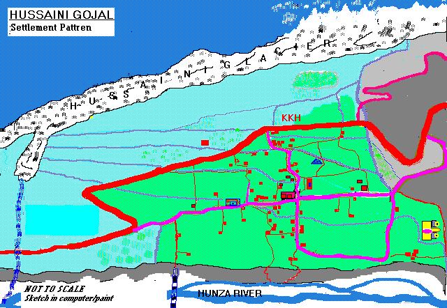
A Sketch (Map) of Hussaini village
|
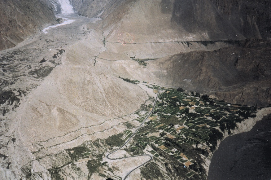
A view of Hussaini village, KKH, Hussaini Glacier and Hunza River
|
Hussaini, Hunza River and Zarabod
|
|
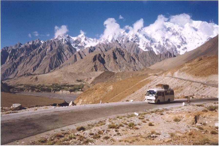
KKH 8th wonder of the world
|
|
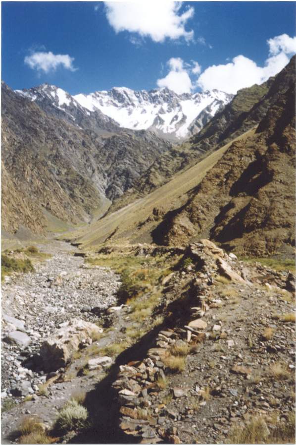
Zarabod Glacier - Zawor
|
|
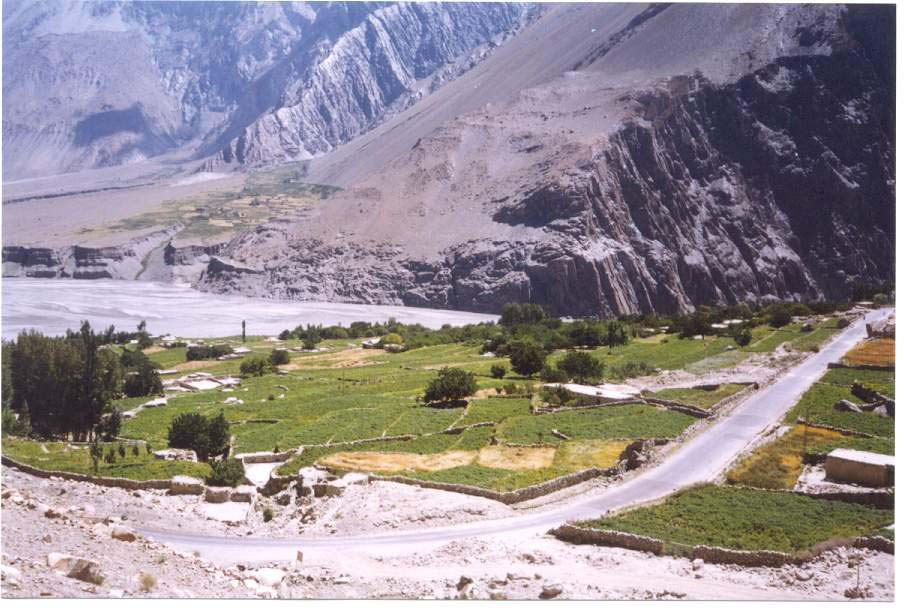
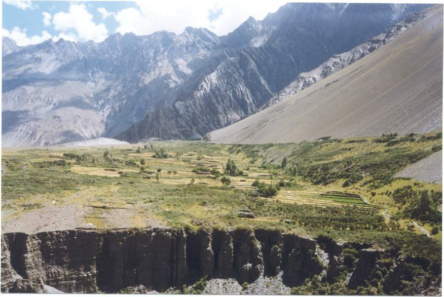
Tarresed Land of Hussaini Village (Wheat & Potato)
|
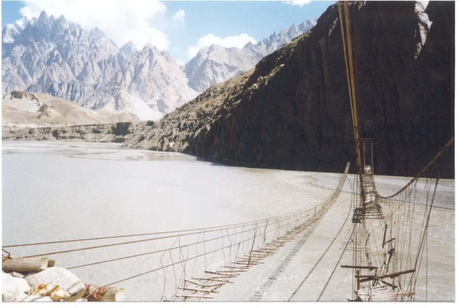
Sespension Bridge (635 feet Long)
|
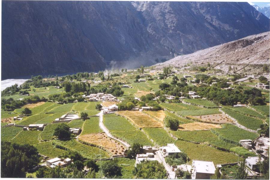
Agricultural Land of Zarabod
|
|
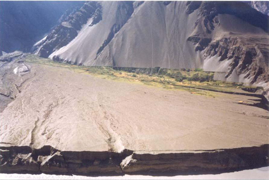
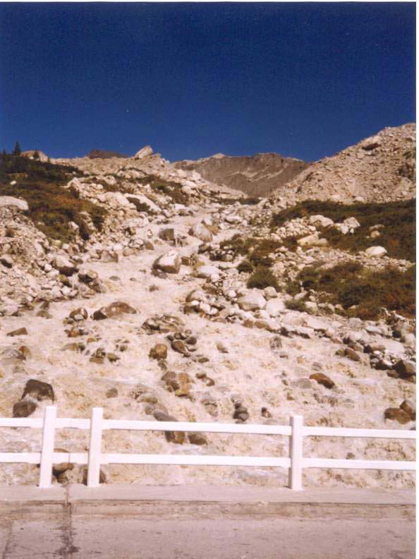
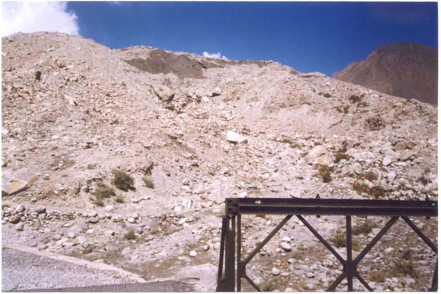
An Aluvial Fan, Zarabod from the KKH
|
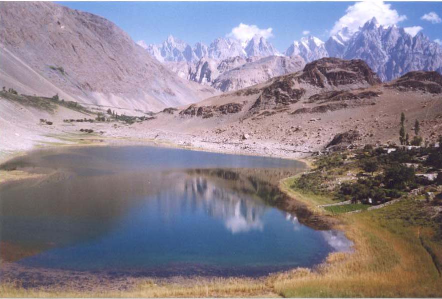
Borith Lake Above Hussaini
|
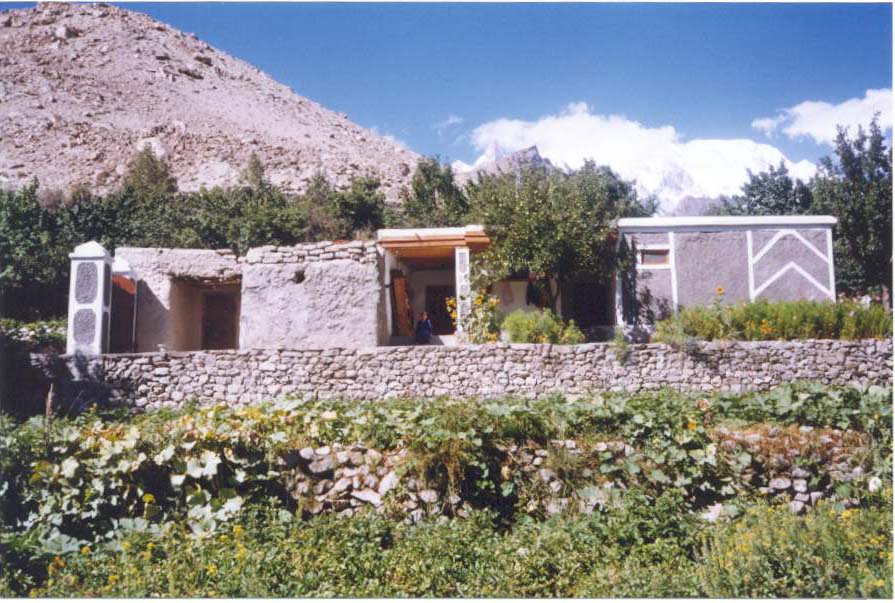
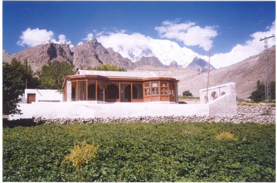
Modern House (Pacca House)
|
|
|
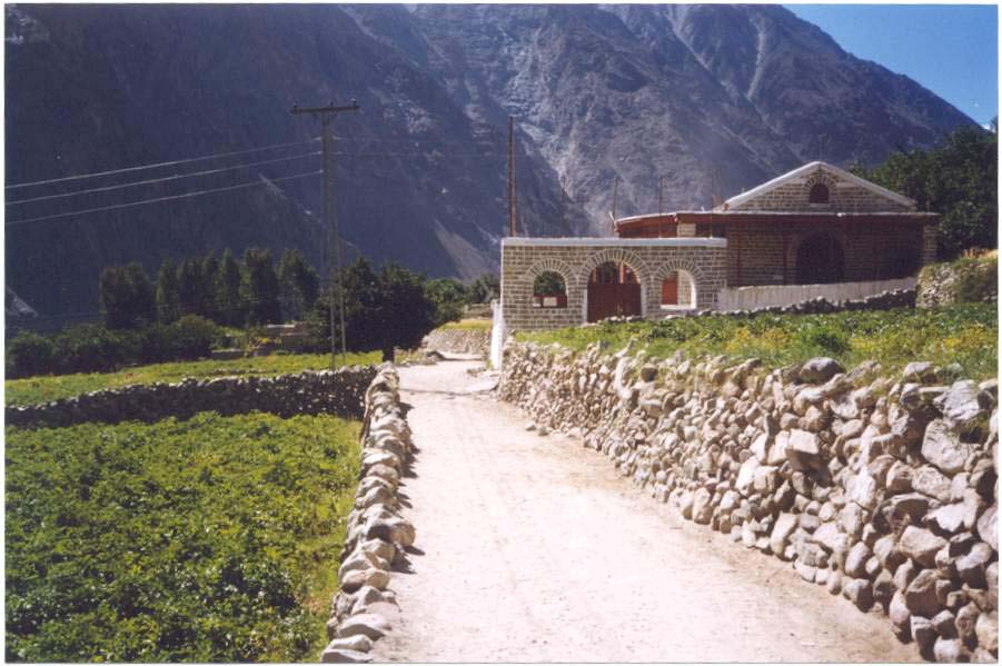
Un-metalled link Road
|
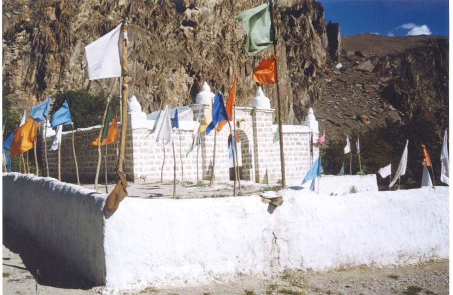
Shrine of Shohtolib in Hussaini
|
|
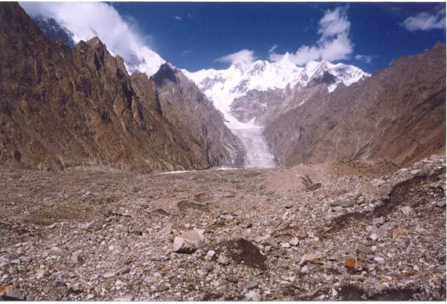
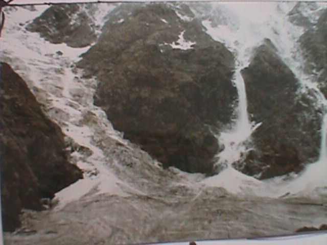
Southern Snout of the Glacier
|
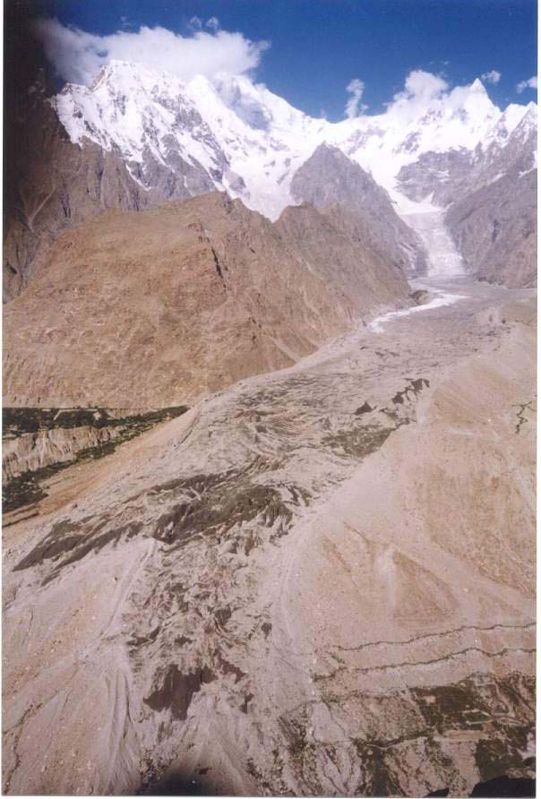
Hussaini Glacier (Sisuni Yaz) about 18 km long
|
Northern Snout (distance b/w snout & KKH 301m. in 2000)
|
|
Shisper Peak 7610 m
|
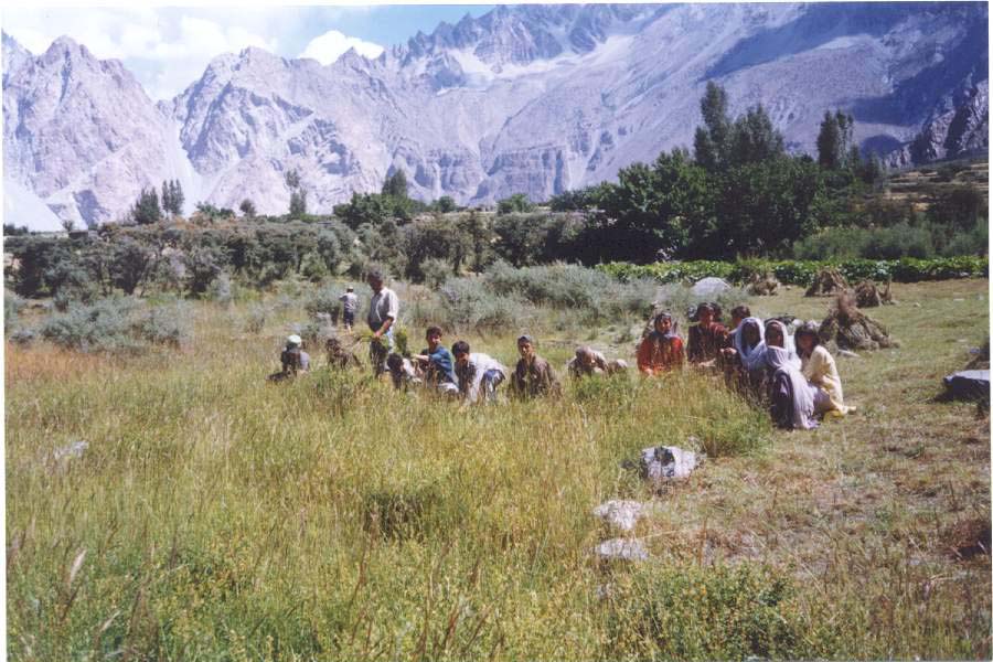
People busy with cutting of grass in Zarabod (Dequnishth)
|
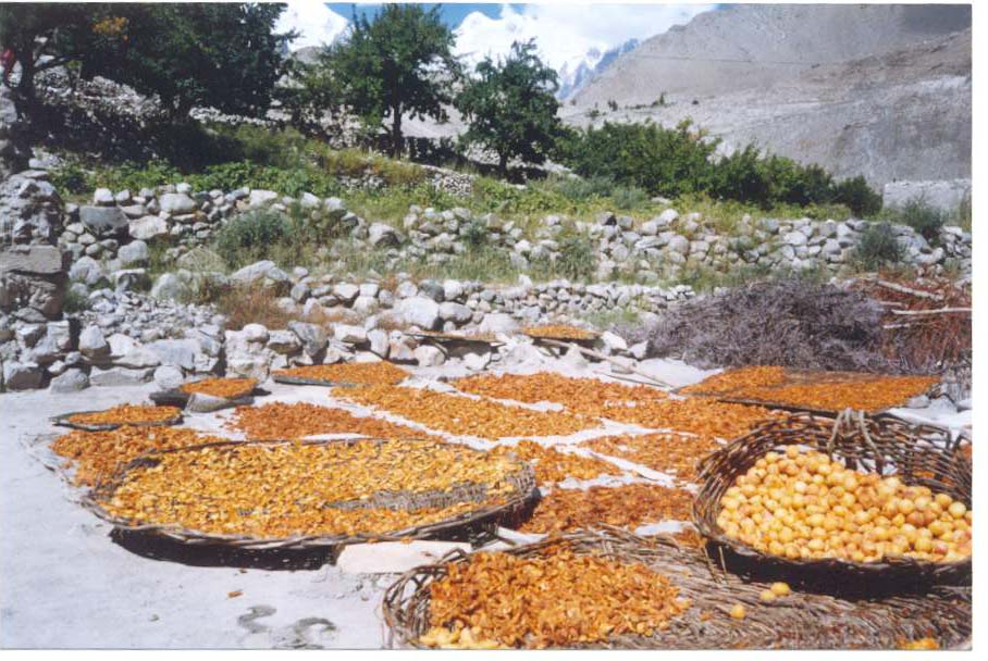
Tradional Method for Drying Apricot
|
|
|
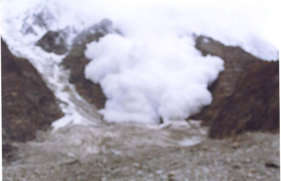
Snowavalach
|
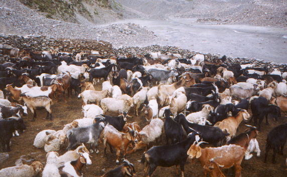
Livestock Goats/Sheep (Maidun Ghel)
|
|
Nowgarch meadows, Batura South
|
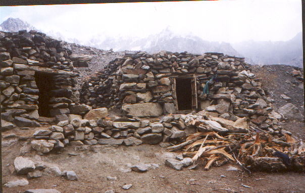
Houses in Batura Pasture (Maidun Helga)
|
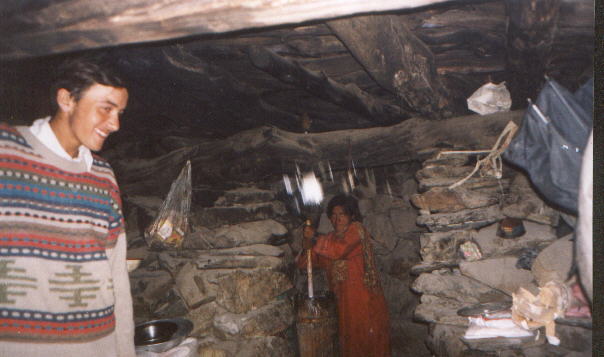
tradional method 4 butter making in Batura pastures
|
|
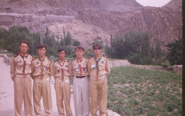
Rovers Scouts Hussaini
|
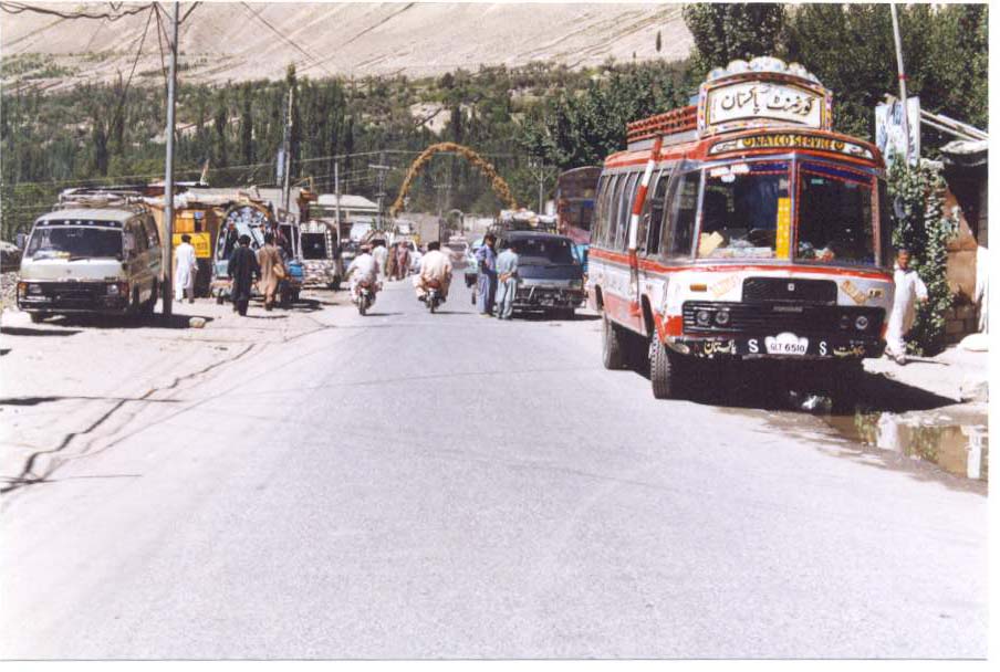
Transport facilities from Gilgit to Hussaini
|
|

